
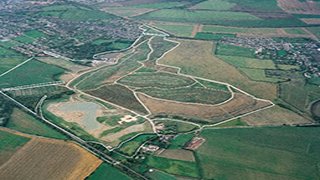
Boundary Survey
KPM Engineering Surveyors have a dedicated team of consultants with many years of experience in Boundary Survey.
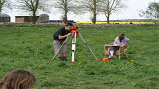
Topographical Survey
Topographic survey involves determining the horizontal and vertical locations of objects on the surface of the earth. Horizontal location entails locating objects like roads, railways, ponds, houses, boundaries of properties, etc. by measuring horizontal distances; the objects are indicated by symbols.
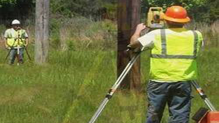
Contour Survey
The line of intersection of a level surface with the ground surface is known as the contour line or simply the contour. For ex, a contour of 100 m indicates that all the points on this line have an RL of 100 m. Similarly, in a contour of 99 m, all points have an RL of 99 m. A map showing only the contour lines.
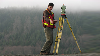
Land Survey
Land surveys is the technique, profession, and science of determining the terrestrial or three-dimensional position of points and the distances and angles between them. Establishing markers or monuments defines and preserves the boundaries of land belonging to a private concern, a corporation, or the government.
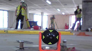
Center Line Marking
In the case of roads or other linear infrastructure, a chainage will be established, often to correspond with the center line of the road or pipeline. During construction, structures would then be located in terms of elevation.
Setting-out Work: Transfer of map information to ground.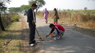
Layout Design & Marking
Based on the topographical survey of the land, layout design drawing is prepared comprising roads, plots and allotting commercial spaces, public use space, etc. as required by government norms. On approval of the layout design drawing by the concerned authorities, layout design is marked at the respective site.
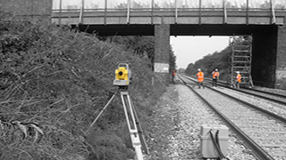
Bridges Survey
Bridge structures are recognized as an integral component of the highways network and Severn Partnership has gained vast surveying experience on a wide variety of bridge designs. We offer a further variety of deliverables, each of which can be individually tailored to suit individual clients.
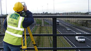
Road Survey
Construction of a new road arises due to public demand or some strategic reason. A primary investigation is carried out regarding the justification of constructing a new road, and tentative alignment(s) are marked on the general map and contour map of the area.
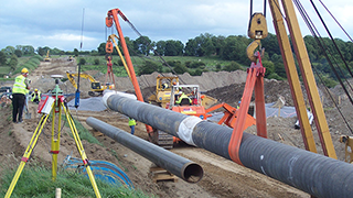
Pipeline Setting Out
Detailed surveys of corridors for oil and gas pipelines, flow-lines and umbilical cables allow engineers to design cost-efficient, practical and safe routes for installations. Route surveys examine the topography of the seafloor for engineers to identify optimum routes.